Understanding Weather Radar Basics
Weather radar systems use radio waves to detect and track precipitation, allowing us to monitor atmospheric conditions in real-time. The radar emits a signal that bounces off raindrops, snowflakes, and other hydrometeors. The returning signal provides data on the location, intensity, and movement of the precipitation. This information is crucial for meteorologists to predict weather patterns and issue warnings. Home users can also benefit by understanding the basics of radar, enabling them to make informed decisions about outdoor activities or travel plans. It’s essential to recognize that radar images often use color codes to signify different precipitation intensities, with red typically indicating severe weather conditions like thunderstorms. Understanding these basics is the first step towards utilizing weather radar effectively for home planning.
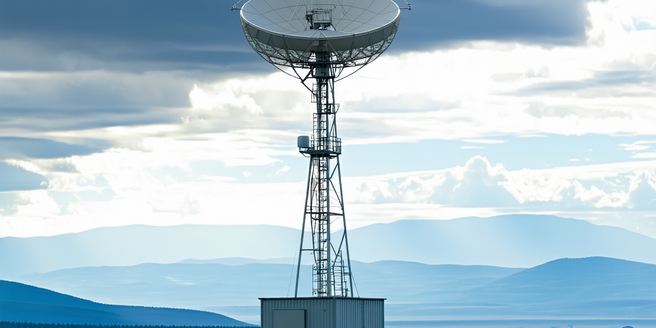
Types of Weather Radar Systems
There are several types of weather radar systems, each with unique capabilities. The most common is Doppler radar, which provides data on both precipitation locations and wind velocities, making it invaluable for tracking severe storms. Dual-polarization radar, an advancement over traditional Doppler, can differentiate between types of precipitation, such as rain and hail, improving forecast accuracy. Pulse-Doppler radar systems also offer high-resolution imagery and are often used in areas prone to severe weather. Another type is phased array radar, which is faster and can scan the sky in various directions without moving parts. For home users, understanding these systems enhances the interpretation of data from weather apps, explaining why a rain shower might appear as mere drizzle or why a storm warning might be issued.
Interpreting Radar Imagery
Interpreting radar imagery is a skill that can transform how you plan your day based on weather conditions. Radar images are formed by signals bouncing off precipitation; they enable users to visualize weather patterns in real-time. Typically, color scales on radar imagery represent intensity, with blues and greens indicating light precipitation, while reds and purples signal severe weather like thunderstorms and heavy rain. By examining the movement of these colors across the map, one can anticipate the direction and speed of approaching systems. Home users can apply this knowledge to gauge how soon rain will arrive or when a storm will pass, empowering decisions to cancel or schedule activities accordingly. Comprehensive understanding of these patterns is crucial in leveraging radar for personal weather forecasting.
Common Weather Patterns Visible on Radar
Common weather patterns visible on radar, such as lines of thunderstorms or areas of steady rain, provide critical insights into anticipated weather conditions. Weather radar can vividly display squall lines, frontal boundaries, and isolated cells indicative of severe storms. For instance, radar might reveal a hook echo, a classic signature for tornado formation. Additionally, radar can capture atmospheric phenomena like outflow boundaries, which can trigger new storm development. Understanding these patterns enables users to anticipate not only standard rain showers but also more severe weather scenarios. This awareness is indispensable for safety and preparedness at home, facilitating actions such as securing outdoor items or altering travel routes. By recognizing these patterns, users can turn radar data into actionable intelligence for better home and personal safety.
Weather Radar Apps and Tools for Home Use
Numerous weather radar apps and tools are designed to bring real-time, detailed weather data directly to home users. Popular apps like RadarScope and MyRadar offer users the ability to visualize radar images, track storms, and receive alerts for severe weather conditions. These tools often include features such as animated radar loops, customizable alerts, and the ability to drill into specific weather types, all through an easy-to-understand interface. Desktop applications and browser-based versions provide supplementary tools for those accessing weather data from a home computer. By incorporating dual-polarization radar data, these applications significantly enhance user experience, offering insights into precipitation types and storm intensity. For everyday planning, using these apps means never being caught off guard by an approaching system, ensuring better preparedness for whatever weather is headed your way.
Tips for Using Radar in Daily Planning
Using radar effectively for daily planning starts with understanding its data representation. Begin by familiarizing yourself with the basic color codes for precipitation on radar imagery, usually available within the app or tool you are using. Tracking radar trends over time is vital—observe how weather systems move and evolve. Setting up customized alerts for radar-based warnings allows you to receive timely notifications about potential weather hazards in your area. Many apps also offer predictive tools that extrapolate radar data to forecast short-term weather changes, perfect for deciding whether to carry an umbrella or delay a gardening project. Reviewing radar imagery before any outdoor activity helps in assessing the need for weather gear or adjusting timelines. These tips ensure you maximize the benefits of radar technology for efficient daily weather planning.