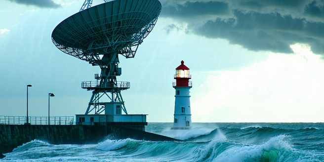
Understanding Radar Technology in Meteorology
Radar technology plays a pivotal role in meteorology, enabling accurate monitoring and prediction of weather patterns. By emitting radio waves and capturing their reflections off atmospheric particles, radar systems can detect precipitation, storm intensity, and movement. This technology provides meteorologists with critical real-time data, allowing them to analyze evolving weather systems. Understanding how radar works is crucial for appreciating its impact on accurate forecasting. Modern radar systems are equipped with advanced features, such as dual-polarization, enhancing their capability to distinguish between different types of precipitation. As weather patterns become increasingly unpredictable, radar technology stands at the forefront, providing essential insights for both short-term and long-term weather predictions. As a robust tool in meteorology, radar helps societies mitigate the adverse effects of severe weather by facilitating timely warnings.
Key Features of Modern Weather Radar Systems
Modern weather radar systems boast a range of features that enhance their functionality and effectiveness in weather prediction. Dual-polarization radar is a significant advancement, offering the ability to differentiate between types of precipitation—such as rain, snow, hail, or sleet—by sending and receiving signals in both horizontal and vertical orientations. This added dimension improves accuracy in identifying precipitation types and assessing potential impacts. Additionally, phased array radar, originally developed for military purposes, is being adapted for meteorology due to its rapid scanning capabilities, allowing for continuous 3D analysis of storm structures. Another key feature is Doppler radar, which measures the velocity of precipitation particles, giving insights into wind patterns, rotation, and potential tornado formation. These advancements make modern radar systems invaluable for reliable weather forecasting and timely dissemination of severe weather alerts.
How Radar Predicts Precipitation and Storms
Radar technology is pivotal in predicting precipitation and storms, significantly enhancing the accuracy of weather forecasts. By transmitting radio waves and analyzing their reflections off raindrops, snowflakes, or hailstones, radar systems can determine the location, intensity, and type of precipitation in real-time. This allows meteorologists to detect and track storm systems, estimate rainfall amounts, and monitor changes in precipitation over time. Doppler radar, a more advanced form, can also measure the motion of rain droplets, providing insights into wind patterns and storm rotation. This capability is particularly crucial for identifying severe weather events, such as tornadoes, that may pose immediate threats to communities. As a result, radar helps forecasters issue timely and accurate warnings, enhancing public safety and preparedness for adverse weather conditions.
The Role of Doppler Radar in Weather Forecasting
Doppler radar is instrumental in weather forecasting due to its ability to measure the velocity of precipitation particles. This capacity allows meteorologists to observe not just the location and intensity of precipitation, but also its movement, providing critical insight into wind patterns and the dynamics of storm systems. By detecting wind patterns within storms, Doppler radar can identify potential rotations, indicating the likelihood of tornado formation. This proactive identification is crucial for early warnings and reducing the risk to life and property. Doppler radar data assist in understanding storm structure and predicting rainfall rates, improving flood forecasts and management. The ability to track storm systems in real-time enhances the accuracy of forecasts and enables timely dissemination of weather alerts, underscoring its role as a cornerstone of modern meteorological practices.
Evaluating the Accuracy of Radar-Based Predictions
The accuracy of radar-based weather predictions is essential for reliable forecasting and public safety. While radar technology is highly advanced, certain atmospheric conditions can affect its precision. For example, radar beams can be scattered by obstacles like mountains or buildings, leading to potential inaccuracies in data interpretation. Additionally, while dual-polarization and Doppler radar features enhance accuracy, weather conditions such as temperature inversions can affect signal processing. To evaluate accuracy, meteorologists cross-reference radar data with observations from weather stations, satellites, and other instruments. Continued advancements in radar technology, along with integrated data analysis, are enhancing the reliability of forecasts. By regularly calibrating radar systems and incorporating machine learning techniques to interpret vast data, scientists are improving the precision of weather predictions, helping communities prepare for and respond to potential weather challenges.