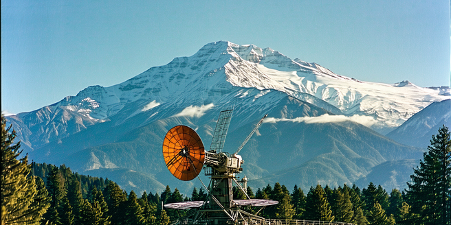
Early Developments in Satellite Technology
The 20th century saw rapid advancements in satellite technology. Initially, these satellites were designed for communication and espionage during the Cold War era. It wasn’t until the late 1950s that the potential of satellites for meteorological purposes was realized. The launch of Sputnik by the USSR in 1957 marked the beginning of space exploration. Shortly after, the United States launched Vanguard 2 in 1959, aimed at measuring cloud cover. Despite being unsuccessful due to spin stabilization problems, this experiment paved the way for future meteorological satellites. Tiros 1, launched in 1960 by NASA, was the first successful weather satellite, providing valuable cloud cover imagery from space. These early ventures highlighted the untapped potential of satellite technology for weather forecasting and environmental monitoring on a global scale.
The Birth of Weather Satellites
The emergence of weather satellites transformed meteorology, opening new channels for data acquisition and analysis. In the 1960s, the successful launch of the Television Infrared Observation Satellite (TIROS-1) marked the dawn of a new era. It was a pioneering endeavor in using spaceborne technology for direct observation of Earth’s weather conditions. TIROS-1 provided the first near real-time images of weather patterns, enabling meteorologists to track and predict atmospheric changes with unprecedented accuracy. This development laid the groundwork for subsequent satellite missions focused on global weather surveillance. As technology advanced, satellites equipped with instruments for precise temperature, humidity, and cloud measurements were deployed. These innovations led to significant improvements in weather forecasting, facilitating better disaster preparedness and response by providing early warnings for extreme weather events such as hurricanes and cyclones.
Evolution of Satellite Instruments and Techniques
With advancements in technology, satellite instruments and techniques have evolved significantly over the decades. Initially, satellites were equipped with basic imaging tools to capture visual data. Over time, more sophisticated instruments such as radiometers and spectrometers were developed, allowing for expanded data collection, including temperature, atmospheric moisture, and surface pressure. The development of geostationary satellites permitted continuous monitoring of weather patterns, leading to more accurate short-term forecasts. Additionally, polar-orbiting satellites provided comprehensive coverage of Earth’s entire surface. Techniques such as remote sensing have enabled scientists to analyze climatic changes and improve predictive models. These advancements have revolutionized meteorological studies by offering a multitude of data points and perspectives to enhance the reliability of forecasts, ultimately contributing to a better understanding of the Earth’s climate system.
Impact of Satellite Data on Weather Forecasting
Satellite data has profoundly impacted weather forecasting, providing meteorologists with vital information to predict weather patterns accurately. These data sets help in understanding and interpreting cloud formations, storm systems, and atmospheric changes on a global scale. The continuous stream of images and data from satellites enables meteorologists to monitor real-time developments in weather systems, which is crucial for timely warnings and disaster management. Improved forecasting capabilities have led to better preparedness for severe weather events, minimizing potential loss of life and property. Additionally, satellite data has enhanced climate research by offering valuable insights into phenomena such as El Niño and La Niña, aiding in long-term climate predictions. This wealth of data supports ongoing research efforts to improve predictive models and develop new technologies for weather analysis.
Challenges in Satellite Meteorology Over the Years
Despite incredible advancements, satellite meteorology has faced several challenges over the years. One significant issue is the calibration and maintenance of satellite instruments, which is critical for ensuring data accuracy. Additionally, the vast amount of data collected poses challenges in processing and analysis, necessitating advanced computational models and techniques. Changes in satellite orbits and the decommissioning of old satellites can lead to data gaps, impacting long-term climate studies. Furthermore, coordination among international space agencies is crucial for optimizing resources and developing new technologies. Political and economic factors also play a role in the launch and maintenance of meteorological satellites. Addressing these challenges involves continued investment in technological development, international collaboration, and innovative solutions to enhance the reliability and effectiveness of satellite meteorology.
Future Trends in Satellite-Based Meteorology
Looking ahead, the future of satellite-based meteorology is bright, with numerous advancements on the horizon. Innovations in satellite technology, such as smaller, more efficient satellites, are set to enhance data collection capabilities. The integration of artificial intelligence and machine learning algorithms promises to revolutionize data analysis, providing more accurate and timely forecasts. The rise of CubeSats and nanosatellites offers cost-effective solutions for expanding satellite networks, ensuring comprehensive global coverage. Enhanced collaboration between international space agencies is poised to facilitate the sharing of data and resources, improving the overall quality and accuracy of weather forecasts. Furthermore, advancements in sensor technology will enable the monitoring of atmospheric conditions with unprecedented precision, contributing to more effective climate research and disaster management strategies.
