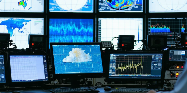
Understanding Radar Technology
Radar technology uses radio waves to determine the distance, angle, and velocity of objects, which is fundamental for understanding weather patterns. When a radar system emits radio waves, they bounce back upon hitting objects like raindrops or snowflakes. The returning signal is analyzed to reveal crucial information about weather conditions. Developed initially for military purposes during World War II, radar technology has become essential to meteorology. It allows for the monitoring of precipitation, wind patterns, and storm movements across large areas. This information is then translated into visual radar maps that display various aspects of weather systems. Understanding the basics of radar technology can help individuals interpret these maps effectively and appreciate how they contribute to weather forecasting and safety protocols during severe weather situations.
Accessing Local Radar Maps
To access local radar maps, there are several methods available to the public. Most local news stations provide radar maps on their websites, often updated every few minutes. Additionally, weather-focused websites and apps also offer interactive radar maps. These maps can usually be customized to display different elements like precipitation, temperature, and storm movement. For those with a particular interest in meteorology, premium services may offer more precise and detailed data. The National Weather Service also provides radar maps that are crucial for tracking local and national weather changes. Understanding how to access and navigate these tools is essential for anyone looking to stay informed about weather conditions in their area, aiding in everyday planning and preparations for adverse weather events.
Interpreting Radar Colors and Symbols
Interpreting the colors and symbols on radar maps is crucial for understanding different weather phenomena. Colors typically represent the intensity of precipitation, with blue or green indicating light rain, and red or purple showing heavy rain or severe storms. Symbols, such as arrows, might indicate wind direction and speed, while other icons could represent types of precipitation like snow or hail. Some maps include isolation of thunderstorms or tornado warnings using special markings. Familiarity with these colors and symbols allows individuals to accurately gauge the severity of an approaching storm and its potential impact. This understanding is beneficial for decisions regarding safety and preparedness during extreme weather, making it an invaluable skill for both amateur weather enthusiasts and professional meteorologists.
Tracking Storm Movements on Radar
Tracking storm movements on radar maps involves observing the trajectory and velocity of weather systems. Radar maps typically display time-lapse animations, allowing users to see the progression and speed of storms. Recognizing patterns in these movements helps in predicting the path and potential impact of storms. Key features, like rotation of storm clouds, might indicate developing tornadoes. Interpreting these movements can be critical during storm warnings, offering valuable time to prepare and implement safety measures. Additionally, understanding these dynamics can improve the ability to communicate effectively about prevailing weather conditions and forecasts. This skill is particularly useful for emergency management teams and local authorities responsible for public safety during adverse weather phenomena.
Utilizing Radar Maps for Planning
Utilizing radar maps for planning involves incorporating weather data into daily activities and long-term preparations. By analyzing radar maps, individuals can choose the best times for travel, outdoor events, and other activities that might be affected by weather. Organizations and businesses also rely on radar data to safeguard operations and assets from adverse weather conditions. For instance, event planners, logistics companies, and agricultural sectors can avoid significant disruption by understanding weather patterns in advance. Radar maps also assist in preemptive measures for expected weather emergencies, such as securing properties and organizing evacuation routes. Incorporating radar map understanding into planning ensures that weather challenges are met with informed strategies, minimizing risk and enhancing safety and efficiency.