Understanding Radar Basics for Rainfall Detection
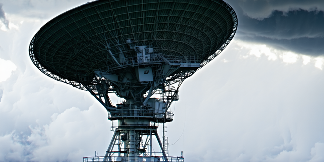
Radar is an essential tool for meteorologists, offering insights into precipitation by sending pulses of radio waves that bounce off raindrops. The time it takes for the waves to return helps determine the distance and intensity of rainfall. Knowing the basics of radar can help you comprehend how meteorologists interpret rainfall patterns. For those interested in the technical side, radar technology has significantly advanced over the decades, improving accuracy in weather predictions. Radar systems typically use a transmitter, a receiver, an antenna, and a display screen. The radar sends out a pulse, listens for its echo, and measures the strength and delay of the return signal to estimate the precipitation amount. Understanding these basics aids in recognizing the radar’s precision and limitations, laying the foundation for more complex interpretations.
Decoding Color Patterns in Radar Imagery
Radar imagery utilizes colors to indicate varying intensities of precipitation, which can be initially overwhelming. Each color corresponds to a specific level of reflectivity measured in decibels (dBZ). For instance, light rain often appears in green shades, moderate in yellow, and intense rainfall in reds. This intricate system forms the foundation of modern weather prediction techniques. This color coding is crucial for accurately interpreting weather data. Interpreting these colors allows users to quickly assess the severity and distribution of precipitation in an area. Understanding color patterns involves recognizing that cool colors typically denote lighter precipitation, while warm colors suggest heavier rainfall. By familiarizing with these patterns, emergency responders, farmers, and everyday users can make informed decisions and respond proactively to weather conditions.
Differentiating Light, Moderate, and Heavy Rainfall
Understanding the distinctions between light, moderate, and heavy rainfall on radar is essential for accurate weather prediction and decision-making. These distinctions are critical for planning and safety measures. The classification is determined by the radar’s reflectivity readings. Light rain usually reflects lower dBZ values, moderate showcases medium ranges, while heavy rain reflects higher dBZ values. It’s important to note that these readings can vary depending on regional climate patterns and topography. Meteorologists rely on these categorization thresholds to predict weather impact, gauge runoff potential, and issue flood warnings. Grasping these differences can help in anticipating weather conditions and implementing timely safety measures. For instance, areas showing high reflectivity can prompt flood alerts, while lighter reflectivity suggests minimal disruption.
The Role of Doppler Radar in Precipitation Analysis
Doppler radar offers an advanced perspective on precipitation by not only detecting rainfall intensity but also measuring the velocity of raindrops using the Doppler effect. This capability supports meteorologists in analyzing storm dynamics and predicting potential severe weather events. Unlike standard radar, Doppler systems monitor frequency changes caused by moving raindrops, which indicate the direction and speed of storm motion. This technology has become indispensable for weather predictions worldwide. This insight is crucial for assessing thunderstorm development or tornado formation. The ability to predict weather conditions with greater precision is a significant advantage in mitigating potential damage. By providing real-time data on wind patterns and storm intensity, Doppler radar enhances precipitation analysis and aids in delivering timely, accurate weather forecasts.
Practical Applications of Radar Rainfall Data
Radar rainfall data plays a crucial role in various sectors, providing valuable insights for agriculture, aviation, and emergency management. The integration of radar technology with other data sources can further enhance decision-making processes. Farmers can use this data to plan irrigation and manage flood risks, optimizing crop yields and preventing losses. In aviation, radar aids pilots by offering real-time weather updates, promoting safer flight operations. Emergency management utilizes radar data to make informed decisions during weather-related disasters, ensuring public safety and resource allocation. Moreover, researchers continually work to enhance radar technology for more precise data analysis. Understanding radar’s applications goes beyond weather prediction; it enables effective planning and swift responses across multiple fields, demonstrating the importance of leveraging radar technology in everyday activities.
