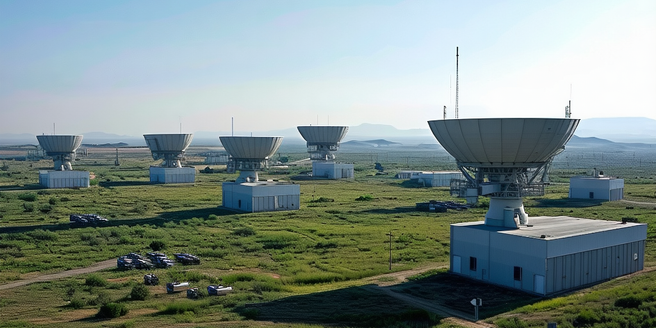
Understanding Radar Systems and Their Applications
Radar systems play a crucial role in various fields, including aviation, maritime navigation, and weather forecasting. These systems, based on the transmission and reception of radio waves, are designed to detect and track objects such as aircraft, ships, and weather formations. By analyzing the time delay and frequency shift of the returned signal, radar systems can determine the range, speed, and characteristics of objects within their detection area. This technology provides essential data that enhances situational awareness and decision-making, enabling industries to operate efficiently and safely. Understanding the fundamentals of radar systems, their capabilities, and applications is essential for those working in fields reliant on these technologies, as they are integral to modern life.
How Radar Images Are Captured and Processed
The process of capturing and processing radar images involves several stages. Initially, a radar transmitter emits radio waves that travel through the atmosphere and hit a target. The waves bounce back to a receiver, creating an echo. This signal is captured and digitized for further analysis. The data is then processed using algorithms that handle noise and extract meaningful information about the target’s shape, size, and surface characteristics. With technological advancements, these algorithms have become more sophisticated and efficient. Advanced techniques like Synthetic Aperture Radar (SAR) can produce high-resolution images by collecting data over time and integrating it. The result is a detailed representation used for various applications, from mapping terrain to analyzing weather patterns.
Key Features to Identify in Radar Images
Interpreting radar images requires understanding the various features and patterns they display. Radar images are unique in reflecting surface characteristics and shapes rather than optical qualities. Analyzing these images demands a keen eye and familiarity with how radar signals interact with different surfaces. Key features include linear patterns, which may indicate roads or rivers, and irregular patterns representing natural landscapes like forests or fields. The strength of the returned signal can suggest the type of surface; for example, smooth surfaces such as calm water reflect signals differently than rougher terrains like mountains. Bright spots often signify objects that strongly reflect radar waves, such as metallic structures. By recognizing these features, analysts can extract valuable insights about the area under observation.
Common Challenges in Radar Image Interpretation
Interpreting radar images involves several challenges. One of the primary issues is understanding the backscatter, which can vary with surface roughness, moisture, and angle of incidence. These variations can lead to misleading interpretations if not carefully analyzed. This complexity requires analysts to have a strong foundation in the principles of radar technology. Furthermore, the ability to differentiate between genuine features and artifacts in radar data is an essential skill for analysts. Additionally, radar images can suffer from speckle noise, reducing clarity and making analysis difficult. Ground truthing, or verifying data with physical inspections, is often necessary to ensure accuracy. Proficiency in handling these challenges demands ongoing training and familiarity with advanced processing techniques, which helps analysts make informed, accurate interpretations critical in their respective fields.
Best Practices for Accurate Radar Image Analysis
Accurate radar image analysis is achieved through a combination of best practices. Foremost is understanding the radar system’s specifications, including resolution and wavelength, which influence data interpretation. Analysts should be skilled in using software tools designed for image processing and enhancement. Continuous training and education in the latest technologies are crucial to maintaining proficiency. This ongoing learning helps analysts keep up with the rapid advancements in the industry. Regular calibration and validation with ground truth data ensure that interpretations remain reliable. It’s also vital to integrate radar data with other sources, like satellite imagery, for comprehensive assessments. By adopting these practices, professionals can enhance the precision and usability of radar data, leading to better informed operational and strategic decisions across various applications.
