Understanding Radar Technology for Weather Monitoring
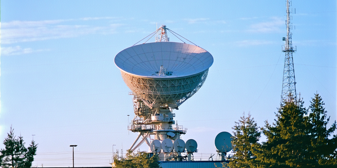
Radar technology plays a crucial role in weather monitoring by utilizing radio waves to detect atmospheric conditions. These radars send out waves, which reflect off precipitation particles and return to the radar unit, allowing meteorologists to analyze storm patterns and intensities. The technology, known as Doppler radar, measures the velocity of these particles, providing insights into storm rotation, direction, and speed. By understanding how to interpret radar imagery, particularly in relation to severe weather systems like tornadoes, forecasters can issue timely warnings and predict the potential impact of the storms. This sophisticated technology is vital for improving public safety by enhancing the accuracy of severe weather forecasts and providing valuable time for communities to prepare.
Key Tornado Features Visible on Radar
Tornadoes manifest unique features on radar that aid in their identification. One critical characteristic is the signature of a hook echo, a hook-like shape on the radar image commonly associated with tornado formation. In addition to the hook echo, a tornado vortex signature (TVS) may be apparent, indicating strong, rotating winds within a storm. The presence of a debris ball, where non-precipitation debris is lifted into the air, can also signal a mature tornado. Another significant radar indicator is the velocity couplet, where inbound and outbound winds converge, suggesting rotation. Recognizing these features allows meteorologists to distinguish tornado-bearing storms from other severe weather events, thus enabling more accurate warnings.
Differentiating Tornado Signatures from Other Storm Patterns
Distinguishing tornado signatures from other storm patterns on radar requires careful analysis of various indicators. While ordinary thunderstorms may show areas of strong reflectivity, tornado-producing systems exhibit distinctive signs like the hook echo and tornado vortex signature. A key factor in differentiation is the velocity data, as tornadoes tend to have a pronounced rotational pattern, unlike straight-line winds or microbursts. Radar operators must also assess the storm’s structure and movement consistency over time to confirm a tornado’s presence. By combining reflective and velocity data with an understanding of storm dynamics, professionals can accurately identify tornado threats and reduce false alarms, ensuring public safety.
Analyzing Doppler Radar Data for Tornado Detection
Doppler radar is an invaluable tool for detecting tornadoes, thanks to its ability to measure wind velocity within storm systems. This data is critical for identifying rotational patterns indicative of tornado formation. Analysts focus on the specific radar signatures, such as the tornado vortex signature, to pinpoint areas of concern. By examining both the storm’s rotational characteristics and its movement, meteorologists can determine the likelihood of a tornado’s development. Additionally, Doppler radar provides the ability to track a storm’s progression in real-time, offering crucial lead time for issuing warnings. Constant advancement in radar technology continues to enhance the precision of tornado detection.
Interpreting Velocity Signatures: A Closer Look
Interpreting velocity signatures on radar is vital for detecting tornadoes. These signatures illustrate the wind motion relative to the radar, revealing potential rotation within a storm. Meteorologists look for a velocity couplet, a distinct pattern of close inbound and outbound winds, which can indicate a tornado’s presence. Understanding the context of these velocity signatures is essential, as certain atmospheric conditions may mimic tornado characteristics. Detailed analysis involves not just recognizing a couplet but also assessing its strength, persistence, and location within the storm system. By refining their interpretation skills, meteorologists enhance their ability to predict and respond to severe weather events.
Case Studies: Historical Tornado Radar Analysis
Examining historical tornado radar analyses provides valuable insights into the evolution of radar interpretation and tornado detection methods. By reviewing past events, meteorologists can identify patterns and improve their understanding of tornado dynamics. Historical case studies facilitate the recognition of common signatures, such as the hook echo and velocity couplet, while also highlighting challenges that radar operators faced. These analyses contribute to the advancement of techniques and technology used in forecasting. They emphasize the importance of accurate data interpretation and its role in reducing false alarms and enhancing warning systems, ultimately aiding in public safety and preparedness.
