Understanding Radar Technology: How It Works in Weather Apps
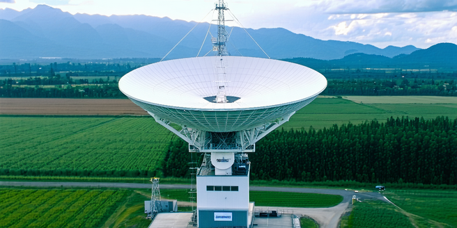
Radar technology is integral to weather forecasting systems, providing detailed data that apps use to display weather patterns. Radar emits radio waves, which bounce off precipitation particles. This information translates into images showing the intensity and movement of rain, snow, or storms. With advancements in radar technology, even subtle changes in weather conditions can be accurately detected. Weather apps leverage this data to deliver real-time updates, helping users anticipate weather changes. The technology works by estimating the distance and size of precipitation, as different frequencies interact uniquely with various particles. Advanced algorithms enhance this raw data, ensuring user-friendly, actionable insights in weather apps. Understanding these fundamentals allows users to appreciate the complexity of the radar systems powering their forecasts.
Top Features of Radar Maps in Leading Weather Applications
Leading weather applications offer numerous features through radar maps, transforming how users interact with weather updates. Real-time radar imagery is crucial, displaying evolving weather patterns dynamically on user screens. These applications have become indispensable tools for everyone from casual users to weather enthusiasts. Zoom capabilities and customizable views enhance user experience, allowing individuals to focus on specific regions. Advanced layers, such as precipitation types, cloud cover, and temperature overlays, enrich the data presented. Storm tracking features enable users to follow severe weather paths, making informed decisions about safety. Notifications and alerts based on radar information keep users updated on instant weather changes, ensuring preparedness. These features, integrated seamlessly into user-friendly interfaces, underscore the advancement of radar map functionalities in popular weather apps.
Comparing Accuracy: Which Weather App Provides the Best Radar Maps?
Accuracy in radar maps varies among weather apps, influenced by data sources and update frequencies. Some providers utilize proprietary algorithms to refine radar data, improving precision. Apps affiliated with major meteorological databases tend to offer more reliable radar visualization, as they access extensive datasets and constant updates. Additionally, it can be beneficial to compare multiple apps within the same weather conditions to gauge their effectiveness. Reviewing user feedback can also aid in evaluating accuracy, with ratings often reflecting user experiences. Test studies assessing different apps on criteria like update speed and detail should be considered. Generally, apps offering frequent refresh rates and proprietary data processing stand out, but users must assess multiple options to determine which provides satisfactory reliability for their specific needs.
User Experience: Navigating and Interpreting Radar Maps
User experience with radar maps hinges on intuitive design and interactive elements that aid interpretation. Clear visual cues such as color gradients help convey weather intensity, enabling users to grasp data at a glance. Seamless navigation, with easy scrolling and zooming, ensures smooth exploration of radar maps. Additionally, responsive design across various devices enhances accessibility for all users. Query options, like asking “what’s the weather?”, should lead to precise radar visualizations with minimal navigation. Tutorials and tooltips guide users unfamiliar with radar data interpretation, enhancing overall usability. Moreover, tailoring map settings allows users to enable preferred layers, ensuring personalized forecasts. Effective design thus transforms complex radar outputs into accessible, actionable insights for diverse user bases.
The Future of Radar Maps: Innovations and Advancements
The future of radar maps in weather apps promises exciting advancements. Upcoming innovations focus on integrating 3D radar imagery to provide more detailed spatial analysis. Machine learning algorithms will enhance radar data processing, predicting weather patterns with greater accuracy. Integrating radar outputs with augmented reality might allow users to visualize weather patterns overlaid on physical environments. Furthermore, data integration from global weather stations will improve the overall reliability of forecasts. Enhanced predictive models aim to offer hyper-local forecasts, anticipating weather shifts minute-by-minute. Collaboration with smart home devices and personal assistants could broadcast radar insights, keeping users informed in various contexts. As technology progresses, these futuristic developments will redefine interaction with radar maps, providing even more sophisticated weather insights.